5 Great Short Walks Around Auckland Airport
Travelling to or from Auckland Airport soon and want to stretch your legs? Or do you simply want to explore some of the best short walks around Auckland?
In this brief guide, we’ll uncover a few of Auckland’s short walks, showcasing the trails and how to get to the best walks near Auckland and Auckland Airport.
New Zealand Travel Resources
- Getting there: search for flights to New Zealand
- Guidebook: pick up a Lonely Planet New Zealand guidebook
- Where to stay: search for hostels and hotels
- Getting around: search for buses
- Rent a car: search for deals on car rentals
- Travel insurance: get travel insurance for your trip
- Money: get a Wise travel card to save big time in New Zealand
- Tours: check out the best New Zealand tours
Short Walks Around Auckland Airport
Ambury Regional Park Foreshore Walk
Ambury Regional Coastal Park is located on the shores of Manukau Harbour and covers over 210 acres of volcanic land. It’s also a working farm, so there are plenty of animals around which you can admire, making this an especially good walk around Auckland for families.
The Ambury Foreshore Walk is both short and easy. It’s just over 2 km and the terrain is very flat. On average, it takes around 45 minutes to an hour to complete.
There are plenty of lookout points along the walk, so you can admire the great coastal views of the area. There are also excellent views of Te Pane o Mataoho / Mangere Mountain.
If you’d like to walk a little bit longer, you can combine the Ambury Foreshore Walk with the Ambury Farm Loop track. Not only will this extend the walk, but you’ll get up close and personal with some of the animals on the farm.
Due to Ambury Regional Park being a working farm, dogs are not allowed.
You can find a digital map of the trail here.
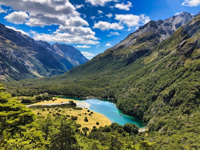
Want a great hike on the South Island? Check out the Travers Sabine Circuit
To get to the park from Auckland CBD, follow the directions below (22-minute drive):
- Take SH1 & Campbell Rd to Trafalgar St in Onehunga
- Take Selwyn St to Neilson St / Rte 10B
- Get on State Hwy 20
- Continue on State Hwy 20 & take Wallace Road to Muir Avenue in Mangere Bridge
- Drive to Ambury Road
To get to the park from Auckland Airport, follow the directions below (11-minute drive):
- Take George Bolt Memorial Drive / State Hwy 20A (following signs to the city centre)
- Take exit 2 for Rte 14 toward Ascot Industrial Park
- Turn left onto Kirkbride Road
- Take a slight to stay on Kirkbridge Rd & follow signs for Mangere Bridge
- Keep left to continue on Kirkbride Rd & follow signs for Ambury Regional Park
Mangere Mountain Path

Mangere Mountain is located in the suburb of Mangere. With a peak of 106m, Mangere Mountain is one of the largest volcanic cones in the Auckland volcanic field. If that wasn’t interesting enough, the volcano has three craters!
The Mangere Mountain Path goes to the summit of the mountain, where you get 360-degree views of the surrounding area. It’s short (around 1.5 km one-way) and relatively easy – while it involves a little bit of climbing, overall it’s accessible for all walkers.
The Mangere Education Centre is nearby and worth a visit to learn more about the area.
Need a car to get to these walks around Auckland? Check out Discover Cars. It’s what we personally use and recommend.
Mangere Mountain also holds incredible cultural significance for the Maori people. There are numerous large kumera pits and other significant Maori heritage that you can explore while you do this Auckland short walk.
Sunset is the best time to do this short walk around Auckland. If you like your walks around Auckland guided, you can do this walk near Auckland and more on this excellent half-day volcano tour.
You can find a digital map of the Mangere Mountain Path here.
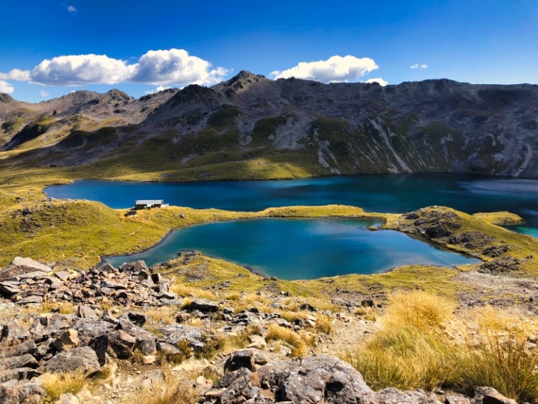
Read How to Visit Blue Lake Nelson, another sacred Maori site
To get to the park from Auckland CBD, follow the directions below (24-minute drive):
- Take State Hwy 16 in Grafton from Wellesley St E & Wellesley St Bridge
- Follow State Hwy 16 & State Hwy 20 to Walmsley Rd in Mangere
- Take exit 10 from State Hwy 20
- Take a right onto Walmsley Road
- Turn right onto Coronation Road / Rte 14
- At the roundabout, take the first exit onto Coronation Road towards Mangere Bridge
- Turn left, staying on Domain Road
- Continue straight on until you reach the car park
To get to the park from Auckland Airport, follow the directions below (9-minute drive):
- From George Bolt Memorial Drive take Domain Road in Mangere Bridge
- Follow Domain Road for 500 metres
- Stay left to stay on Domain Road
- Continue straight until you reach the car park
Don’t want to come by car? You can also easily access Mangere Mountain via public transportation.
Otuataua Stonefields Historic Reserve
The Otuataua Stonefields Historic Reserve is just that – a historic reserve to preserve the archaeological remains of Maori communities who have lived in the area for centuries. In addition to the history, there are various trails, all of which are very short and easy walks near Auckland.
Some of the ancient structures on the reserve include Maori stone fields that date back 800 years ago and were designed for horticultural purposes.
3 different main trails can be chopped and changed to create the trail of your preference: a history walk, a biology walk and a geology walk.
The Otautaua Stonefields Historic Reserve is a great place to walk in whilst immersing oneself in history, as there is signage along most trails, both teaching and guiding walkers along the way.
Dogs are welcome so long as they are on a leash.
You can find a map and more information about the Otautaua Stonefields Historic Reserve here.
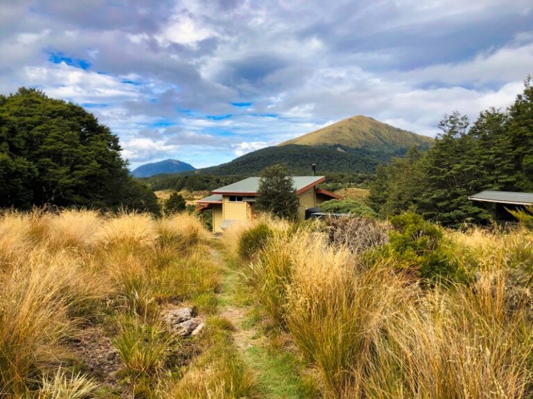
Read next: Angelus Hut – How to Visit New Zealand’s Most Beautiful Hut
To get to the park from Auckland CBD, follow the directions below (24-minute drive)
- Get on State Hwy 16 in Grafton from Wellesley St E & Wellesley St Bridge
- Continue onto State Hwy 16
- Merge onto State Hwy 20 to George Bolt Memorial Drive in Mangere
- Arrive at the reserve
To get to the park from Auckland Airport, follow the directions below (5-minute drive):
- Head west on Tom Pearce Dr towards Bolt Memorial Drive
- Use the right 2 lanes to turn right onto George Bolt Memorial Drive
- Turn left onto Ihumatao Road
- Arrive at the reserve
Waitawa Regional Park
Situated on the shores of the Hauraki Gulf, Waitawa Regional Park is around 50 km away from Auckland CBD, making it a bit further then the other walks near Auckland.
On the plus side, the drive to Waitawa Regional Park does offer incredible views, especially on the Pacific Coast Highway.
The Waitawa Regional Park provides easy to moderate tails that can be both walked and biked. Some of the coastal trails lead to beaches, making it a great spot for boating or fishing. Others lead inwards where visitors can find mountain biking or more advanced trails.
Waitawa Regional Park also has camping opportunities if you’d like to stay longer than a day trip.
To get to the park from Auckland CBD, follow the directions below (45-minute drive)
- Head South on Queen St towards Wellesley St E
- Turn left at the first cross street onto Wellesley St E
- Turn right onto State Hwy 1 S ramp to Hamilton
- Merge onto SH 1
- Keep right to stay on SH 1 until you can take exit 451 toward Pacific Coast Highway
- At the roundabout, continue straight onto Alfriston-Ardmore Road
- Turn left onto Clevedon-Takanini Road
- Turn left onto Papakura-Clevedon Rd (signs for Clevedon/Kawakawa Bay/Maraetai)
- At the roundabout, take the 3rd exit onto Clevedon-Kawakawa Rd
To get to the park from Auckland Airport, follow the directions below (38-minute drive)
- Head southeast on George Bolt Memorial Drive
- Turn left onto Tom Pearce Drive
- At the roundabout, take the 2nd exit and stay on Tom Pearce Drive heading to Manukau & S
- Keep left, follow signs for Manukau S
- Continue straight onto SH20B
- Use the right lane to turn right onto the Rte 30/Cavendish Dr/State Hwy 20 S/Pacific Coast Hwy ramp to Roscommon Rd/Thermal Explorer Hwy/Manukau
- Keep right, merge onto Pacific Coast Hwy / State Hwy 20
- Use the right 2 lanes to take State Hwy 1 S exit toward Hamilton
- Merge onto Pacific Coast Hwy / SH 1
- Take exit 451 toward Pacific Coast Hwy
- Merge onto Hill Rd
- At the roundabout, take the 2nd exit onto Stratford Rd heading to Pacific Coast Hwy
- At the roundabout, continue straight onto Alfriston Rd
- Turn right onto Alfriston-Ardmore Rd (signs for Ardmore/Clevedon)
- Turn left onto Clevedon-Takanini Rd (signs for Clevedon)
- Turn left onto Papakura-Clevedon Rd (signs for Clevedon/Kawakawa Bay/Maraetai)
- At the roundabout, take the 3rd exit onto Clevedon-Kawakawa Rd
Awaruku Bush Reserve
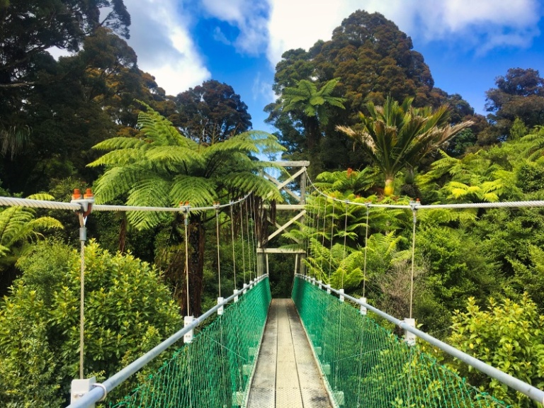
Awaruku Bush Reserve is as it sounds, an enchanting brush-covered landscape with waterfalls and walking paths. The paths act more like tracks, so it is great for strolls and is accessible for those in wheelchairs.
While there are various tracks at this reserve, some are closed due to Kauri Dieback disease, so always check the routes beforehand, via the official Awaruku Bush Reserve website.
The hiking trails at Awaruku Bush Reserve are easy and short, making it another great option for nice walks around Auckland.
The Awaruku Bush Reserve is highly recommended for tree enthusiasts, or anyone who does not have easy mobility, as it is suitable for each type of walker who would like to explore walks near Auckland.
To get to the park from Auckland CBD, follow the directions below (22-minute drive):
- Get on State Hwy 16 in Grafton from Wellesley St E & Wellesley St Bridge
- Continue to SH 1. Take exit 3 from State Hwy 16
- Follow SH 1 to Oteha Valley Rd / Rte 29 in Albany. Take exit 410 from SH 1
- Continue on Oteha Valley Rd / Rte 29, take East Coast Road & Fitzwilliam Drive to Awaruku Rd in Torbay
- Arrive at Awaruku Bush Reserve
To get to the park from Auckland Airport, follow the directions below (38-minute drive):
- Head towards George Bolt Memorial Drive onto Mangere
- Take State Hwy 20 and SH 1 to Orteha Valley Rd / Rte 29 in Albany
- Take exit 410 from SH 1
- Continue on Oteha Valley Rd / Rte 29
- Take E Coast Rd / Rte 25 & Fitzwilliam Drive to Awaruku Road in Torbay
- Arrive at Awaruku Reserve
Other Walks Near Auckland Airport
While these are just a few of the most beloved & accessible walks near Auckland Airport, there are many more to discover, such as Puhinui Stream Forest Trail, Totara Park, and e Pane o Mataoho/Te Ara Pueru.
Tips for These Auckland Short Walks
Be sure you bring comfortable shoes when embarking on these Auckland short walks. While none are considered ‘difficult,’ comfortable shoes will serve walkers well.
Please remember to leave no trace and always respect local wildlife by keeping your distance.
Happy walking!
Where to Stay Near These Auckland Short Walks
Budget
Mid-range
High-end
Hotel Fitzroy Curated By Fable
Getting to Auckland Airport
Getting to Auckland Airport is pretty straightforward. If you have a bit of time, it’s worth stopping along the way to stretch your legs on one of these short walks near Auckland.
It is worth noting that if you do plan to keep your car at the airport whilst away, you can find affordable Auckland Airport Parking with Flyparks, as they compare various airport car parks across New Zealand, only offering the most reputable parking providers. To get the best rates, you can book in advance and save up to 40% as opposed to parking your car at the airport on the day of your flight.
Disclaimer: This post contains affiliate links. This means that if you buy or book anything through them, we’ll earn a small commission at no extra cost to you. This helps us run this website and create comprehensive guides to help you get off the beaten track. We only recommend products and/or services that we use ourselves and trust.